Crime Information Management System
Full-stack Developer | GIS AnalystKenya
Built a real-time geospatial platform enabling data-driven crime analysis and faster incident response across Kenya.
DjangoFlutterLeafletAWSSupabaseReact
Bridging Geospatial Intelligence & Innovation





I am a GIS Software Developer in Kenya driven by a simple idea: spatial data has the power to transform how we understand and solve real-world problems. I specialize in building geospatial applications, geoportals, Internet of Things (IoT), and GIS mobile solutions that turn complex data into clear, actionable insights across Africa.
My work sits at the intersection of geospatial engineering and software development, where I use modern technologies to design scalable, intelligent systems. From environmental monitoring to data collection platforms, I develop tools that support decision-making and create measurable impact.
This is how I take a project from a problem to a working solution. Each step rests on the one below it, so if something isn't right at the top, I go back down the stack and fix it there.
First I work out what the problem really is, who it affects and how it shows up in their day-to-day. A county officer, a farmer and a field team can feel the same problem in very different ways, so I talk to the people involved before anything else.
Before touching any data I do the research: how has this been tackled before, and what will still work after I hand it over? From that I settle on a suitable and sustainable methodology, then choose the tech stack, system architecture and database design.
Based on the research, I collect the data. This includes satellite/drone imagery, field observations, and datasets from trusted secondary sources like statistical records and geospatial databases.
This is the GIS work: cleaning the data, running the spatial analysis and remote sensing, and checking that what I find holds up on the ground.
Next I build what people will use day to day. That might be a geoportal, a dashboard, a mobile app or a smart IoT device, depending on who needs it and where they work.
Finally I check the result against the problem I started with. Is it solved for the people it affected? If not, I go back down a layer and fix it.
Essential skills that drive collaboration and success
Built a real-time geospatial platform enabling data-driven crime analysis and faster incident response across Kenya.
Developed an IoT-powered geofencing system that dynamically regulates vehicle speed and monitors over-speeding in real time.
Built a geospatial platform that transforms Earth Observation data into actionable insights for monitoring land degradation across Africa.
Built for OSS funded by GMES and Africa
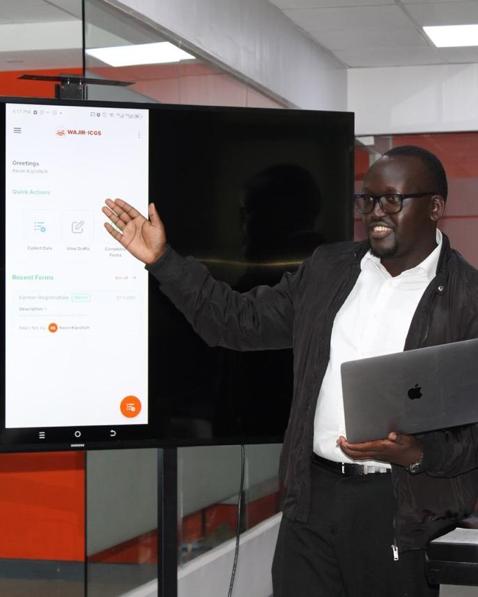
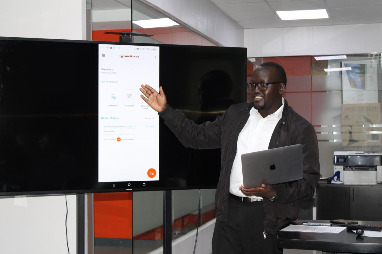
Delivered an end-to-end GIS ecosystem for large-scale field data collection, management, and decision-making in Wajir County.
Built for and funded by Mercy Corps
Digitized cadastral data collection and management through an offline-capable mobile and GIS integration system.
Built for and funded by Mercy Corps
Automated shoreline extraction and analysis to support coastal erosion monitoring and climate resilience planning across island nations.
Built for RCMRD funded by GMES and Africa
Built a scalable backend system enabling efficient agricultural data management and decision support for stakeholders in Tanzania.
Built for Tanzania funded by EU
Developed a smart IoT-integrated system for real-time tracking and management of animal vaccination data in the field.
Built for and funded by AU-IBAR
Created a full-stack system that streamlines fuel station operations, analytics, and performance tracking for better business decisions.
A comprehensive decision support system that enables the collection, management and visualisation of rangeland and environmental data.
Built for and funded by Mercy Corps
Designed and developed a centralized monitoring platform for solar-battery mini-grids across 21 African countries, providing stakeholders with real-time visibility into system performance through a harmonized regional dashboard.
Built for and funded by UNDP
Jomo Kenyatta University of Agriculture and Technology
Udemy - Academind
Udemy - Academind
Garissa University Geospatial Innovation Center